
Buienradar Rolde
Dry until at least 1:55 AM.


 11:55 PM
measured
Weather in Rolde
Now
- Today: 8° – 14°
- Wind from the southwest, force 2 (10 km/h) 10 km/h, gusts 19 km/h
- Rain: 0 mm 8% chance
- Humidity: 93%
- Sunrise 7:25 AM, Sunset 5:08 PM
Coming hours
- Cloudy 11° Wind from the southwest, force 2 (11 km/h)
- Cloudy 10° Wind from the southwest, force 2 (9 km/h)
- Cloudy 10° Wind from the southwest, force 2 (9 km/h)
- Cloudy 9° Wind from the southwest, force 2 (8 km/h)
- Partly cloudy 9° Wind from the southwest, force 2 (8 km/h)
- Partly cloudy 8° Wind from the southwest, force 2 (7 km/h)
- Partly cloudy 8° Wind from the south, force 1 (4 km/h)
- Fog 8° Wind from the south, force 1 (5 km/h)
- Cloudy 9° Wind from the southwest, force 2 (7 km/h)
- Cloudy 11° Wind from the southwest, force 2 (7 km/h)
- Partly cloudy 12° Wind from the southwest, force 2 (6 km/h)
- Partly cloudy 14° Wind from the west, force 1 (4 km/h)
- Cloudy 14° Wind from the west, force 1 (5 km/h)
- Cloudy 14° Wind from the west, force 1 (5 km/h)
- Cloudy 14° Wind from the west, force 1 (4 km/h)
- Cloudy 14° Wind from the south, force 1 (1 km/h)
- Cloudy 13° Wind from the northwest, force 1 (3 km/h)
- Cloudy 12° Wind from the north, force 1 (4 km/h)
- Cloudy 12° Wind from the north, force 1 (4 km/h)
- Cloudy 11° Wind from the northeast, force 1 (1 km/h)
- Cloudy 11° Wind from the east, force 1 (2 km/h)
- Fog 10° Wind from the east, force 1 (3 km/h)
- Fog 10° Wind from the east, force 1 (3 km/h)
- Fog 9° Wind from the east, force 1 (5 km/h)
Zo werkt de buienradar van Rolde
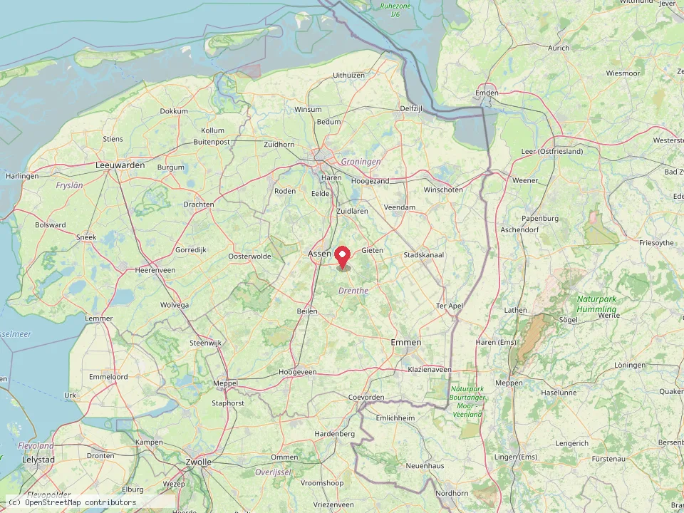
De kaart laat zien waar het regent in Noord-Nederland en over de grens in Duitsland, met Rolde in het midden. Bij het afgelopen uur zie je de regen die de radar van het KNMI heeft gemeten. De twee uur daarna zijn de verwachting van het KNMI. Radar en verwachting worden elke tien minuten bijgewerkt.
Met +8u, +24u en +48u kijk je verder vooruit. Die beelden komen uit het weermodel van de Duitse weerdienst DWD, één per uur. Ze zijn grover dan de radar, maar laten goed zien wanneer een regengebied over Drenthe trekt.
Onder de kaart staat per tijdstip hoeveel regen er in Rolde valt. Lichtblauw zijn een paar druppels, donkerblauw is stevige regen en geel of rood een flinke bui.
- Updated
- forecast 11:30 PM · radar 11:55 PM
- Sources
- Forecast: MET Norway (CC BY 4.0) · Radar: KNMI (CC BY 4.0) · Model: Deutscher Wetterdienst · Map: © OpenStreetMap. Data adapted for this website.