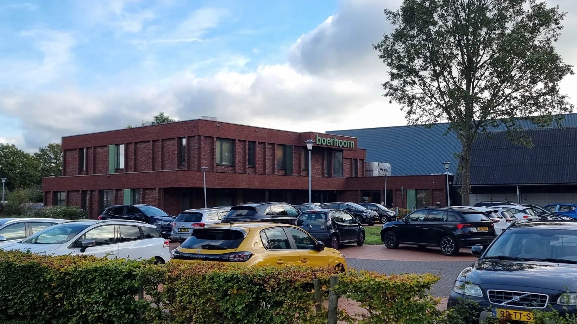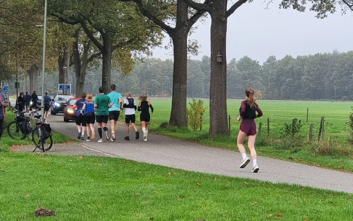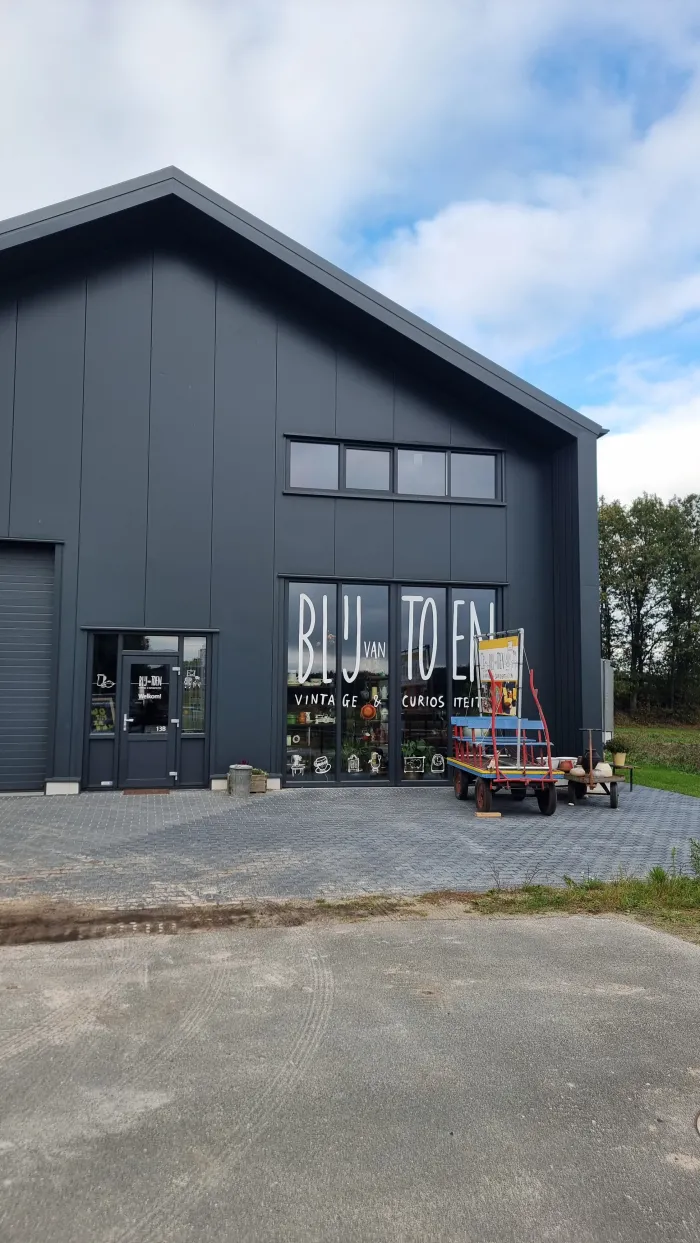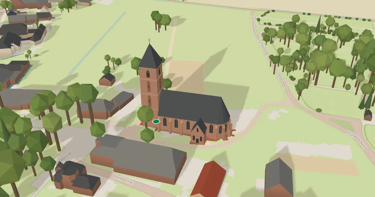
Today, Friday 6 November, Rolde.nl officially introduces Rolde in 3D. Residents and visitors can explore an interactive model, select local places and see familiar buildings from a different angle.
A village that changes with the time
The windmill responds to the wind, the market appears on Fridays and waste bins stand beside the road on collection days. Light, seasons and weather change too. The church, windmill, dolmens and artworks have their own models, while labels open photographs and information. There are also homes for sale, bus stops with upcoming departures and road works.
For residents and visitors
Made by Moi! Webservices for Rolde.nl, the map aims to put Rolde on the map, quite literally. It helps residents discover their surroundings and visitors, including summer tourists, find local places and amenities.
Public data and local detail
The model combines Dutch building, topographic, elevation and aerial-photography data with custom models and local checks. Animated cars are illustrative; bus positions are estimated from expected passing times.
The map was already accessible and is being officially introduced today. Explore Rolde in 3D, watch the introduction or read about the features and sources. To suggest an improvement or discuss a map for your village, use the contact form.